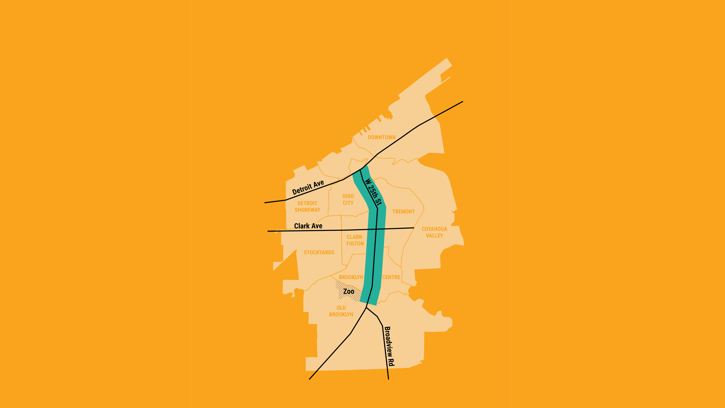
25Connects is a community planning process that aims to provide the design recommendations and tools to support a future West 25th Street corridor focused on walkable, transit-supportive, mixed-use community development that will support the investment of the RTA’s MetroHealth Line bus rapid transit (BRT) line.
Project Area Map
The project area extends along W. 25th Street from Detroit Avenue on the north to The Cleveland Metroparks Zoo on the south.

PROJECT TIMELINE
Dedicated to engage.
The project timeline includes multiple ways for community members to contribute their ideas. In response to COVID-19, our engagement plan offers opportunities to connect online and share information through safe in-person activities. Engagement activities will also include materials and translation for Spanish speaking community members. La información en español está disponible en 25Conecta.com.


